The Mudflats
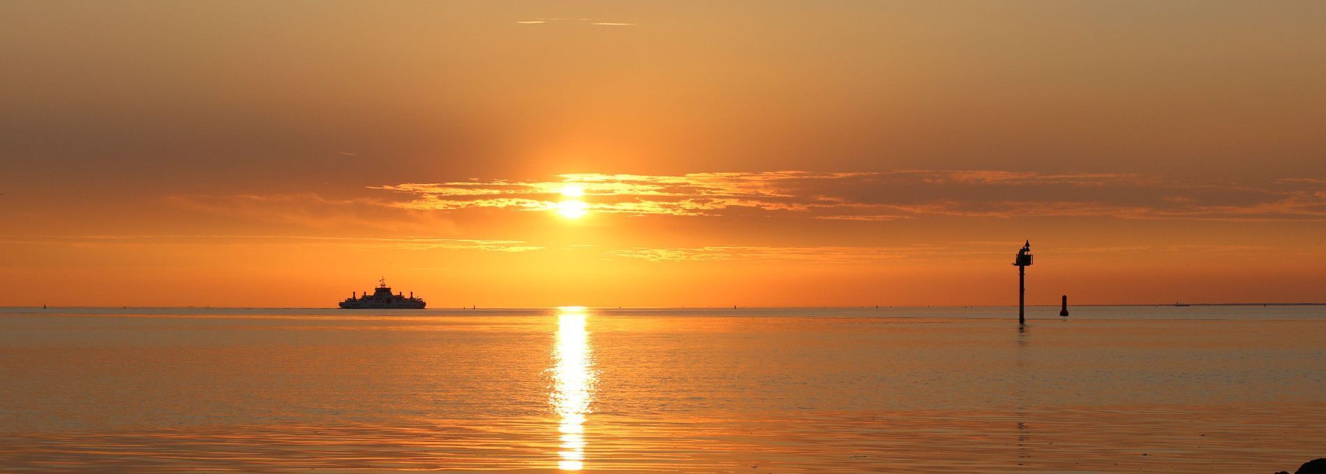
Sweeping views, beautiful skies, but also a food reservoir for many types of birds and fish. That is the Wad, the grand mudflats.
Waddensea UNESCO World Heritage
The shallow coastal area measuring 1 million hectare stretches from Den Helder to Denmark. Twice daily the tide rises and falls, which offers a stunning spectacle. At high tide it is a large sea and at low tide about half of the wadden area is exposed, which results in a complex display of mud, channels and sandy flat. Since June 2009 the Waddensea can be found on the list of UNESCO World Heritage Sites, a true accolade for this unique tidal landscape!
Bird-rich area
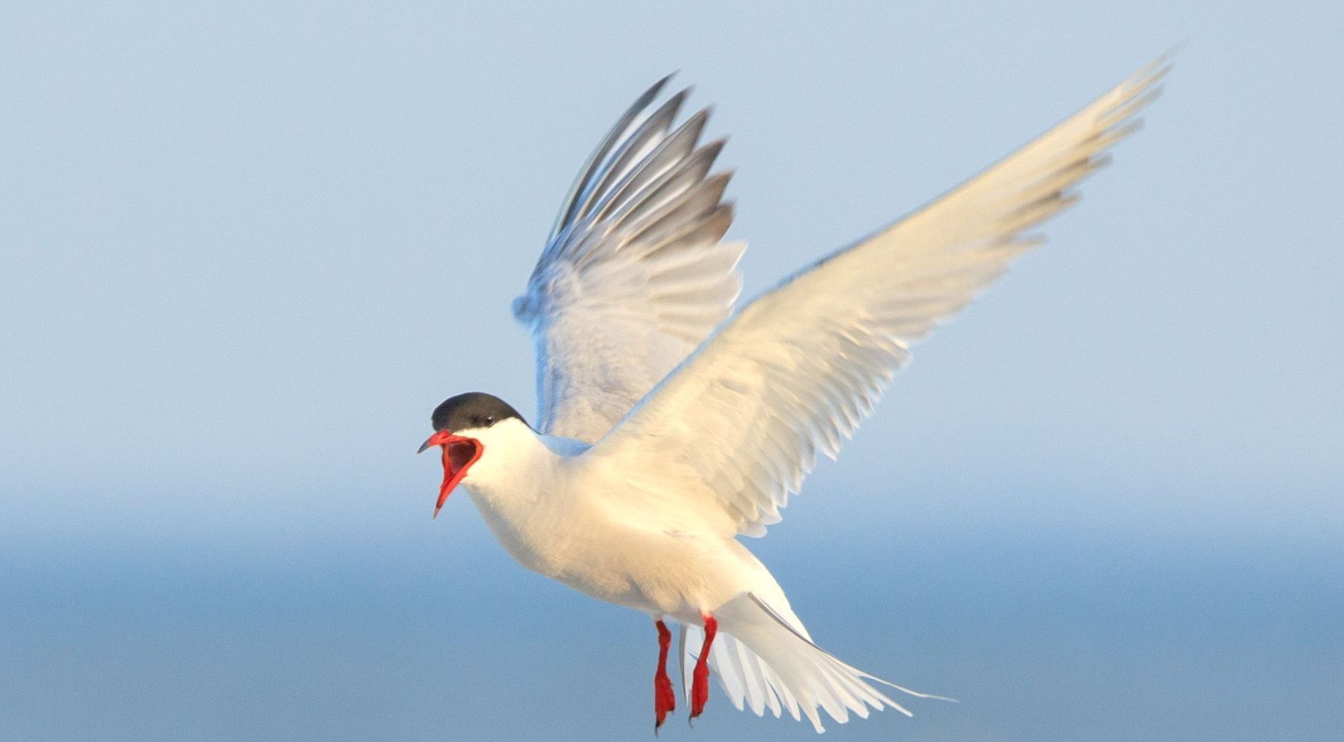
The Wadden mudflats are sometimes called the most bird-rich area of Western Europa and Northern Africa. About 5 to 6 million birds migrate through this rest area each year. It has a unique importance for the bird population in Europe and is unequalled as a nature area. As a result of the tidal changes an enormous food reservoir develops which can consistently feed 600 up to 1000 birds, 75% of which are waders, per square kilometre of mudflat. Plankton, algae, seaweed, various types of young fish, shrimp, worms and shellfish can be found here.
Waddensea birds
The Wadden Sea is of high importance for waders, because their population is almost certainly not determined by their breeding grounds, but by the amount of food in their winter area. Waders is a generic name for some 40 types of ducks, seagulls, shorebirds, and geese which are all to a large extent dependent on the mudflats for their food supply. Naturally, their are also birds that are not considered waders, but do appear here in relatively large numbers, such as the golden plover, lapwing, starling, crow, and the wagtail.
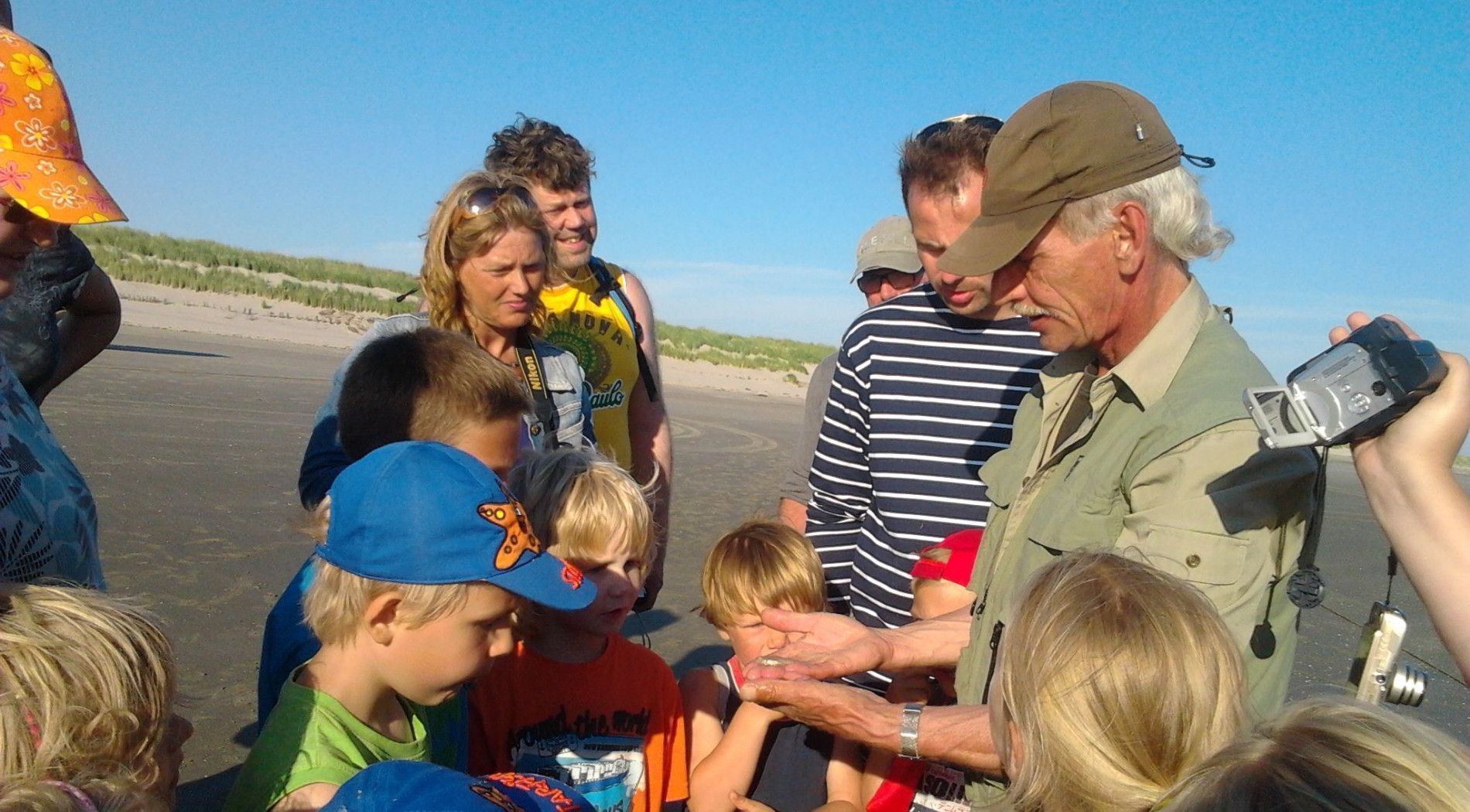
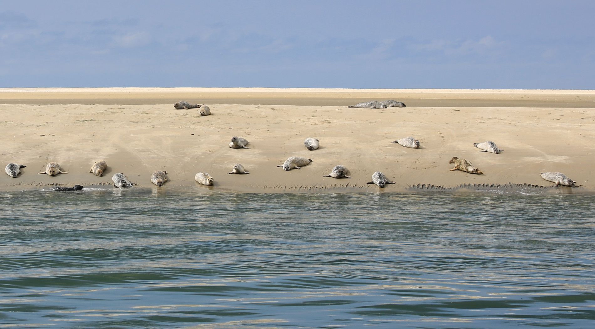
Discover
Various activities are possible on Ameland to discover the beautiful Wadden area. How about seal spotting, a sailing trip or fishing on the Wadden Sea or one of the mudflat excursions.
Would you rather go out by yourself? Then get on your pedals or take a lovely walk along the Wadden Sea dyke. Especially during low tide, the winding channels are clearly visible and you will see many birds on the mud flats, so highly recommended!
Mudflat hopping
Mudflat hopping is very popular these days. By 'hopping' from island to island across the beautiful Wadden Sea, you visit several islands during one holiday. You will experience the Wadden Sea in a very unique and intense way.
Check out the possibilities.
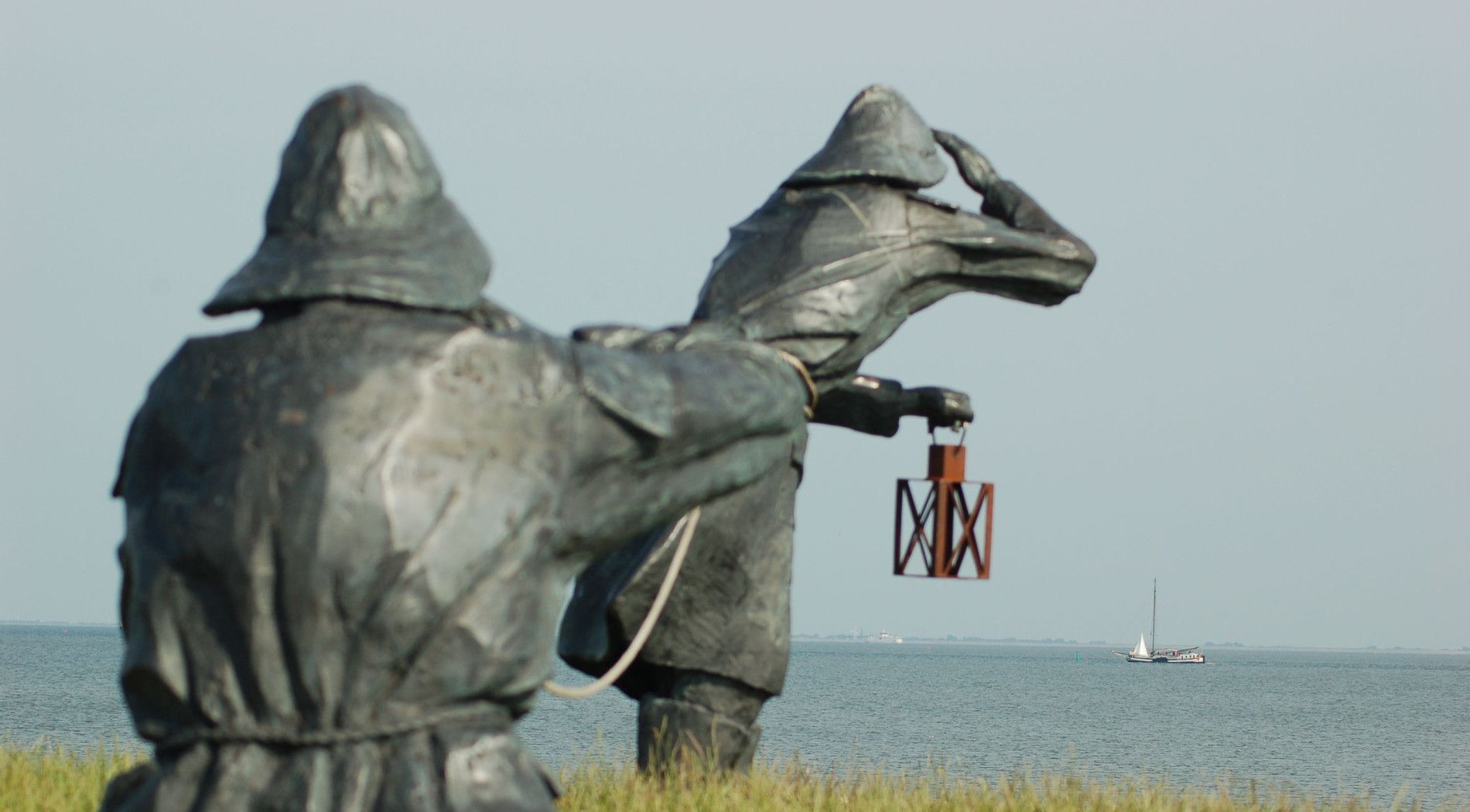
Dike guards
The Wadden Sea can be found on the southside of Ameland. Between the Wadden Sea and Ameland the sturdy Wadden Sea dike protects the island against the sea water. During high tide and storm it can be pretty boisterous on the Wadden Sea. The wind in combination with the high tide can result in big waves, which will batter the dikes even more than usual.
Storm season
During big storms, combined with extremly high tide, dike guarding can be instituted. Luckily this is rarely needed. The statue on the dike at the Ballumerbocht, on the Reeweg between Nes and Ballum, shows how this was done in the past.
The highest chance for extreme weather is from October through March, which is why this period is called the storm season.
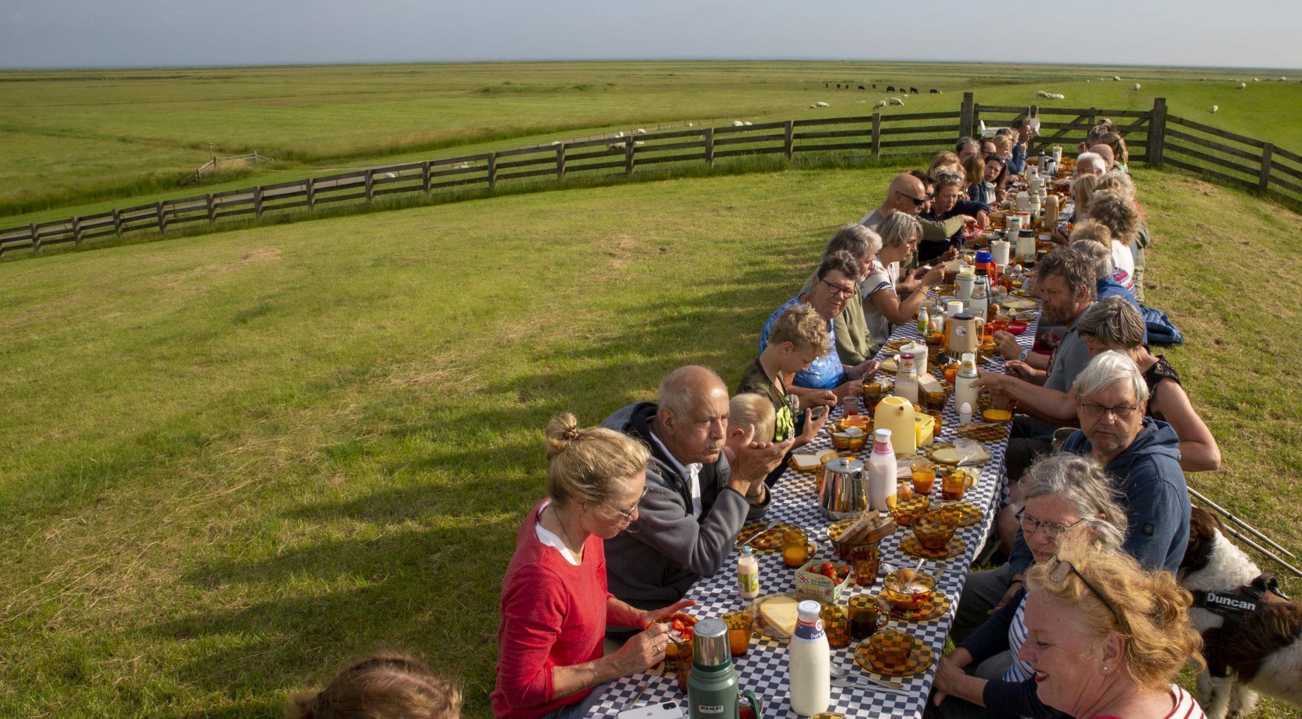
Day of the Wadden Sea
In 2009, UNESCO declared the beautiful & unique Wadden area a World Heritage Site. A unique event that we celebrate every year. Traditionally, we celebrate on the last Saturday of June during the Day of the Wadden Sea.
In 2025, Wadden Day was celebrated with a delicious breakfast on the dyke.

Seagrass
South of Ameland, Rijkswaterstaat is working on restoring seagrass meadows in the Wadden Sea. The trial plots with large seagrass are thriving. That’s why seeds are being sown again this year, with the aim of establishing a permanent seagrass meadow. Residents and visitors can help by reporting any seagrass sightings.


