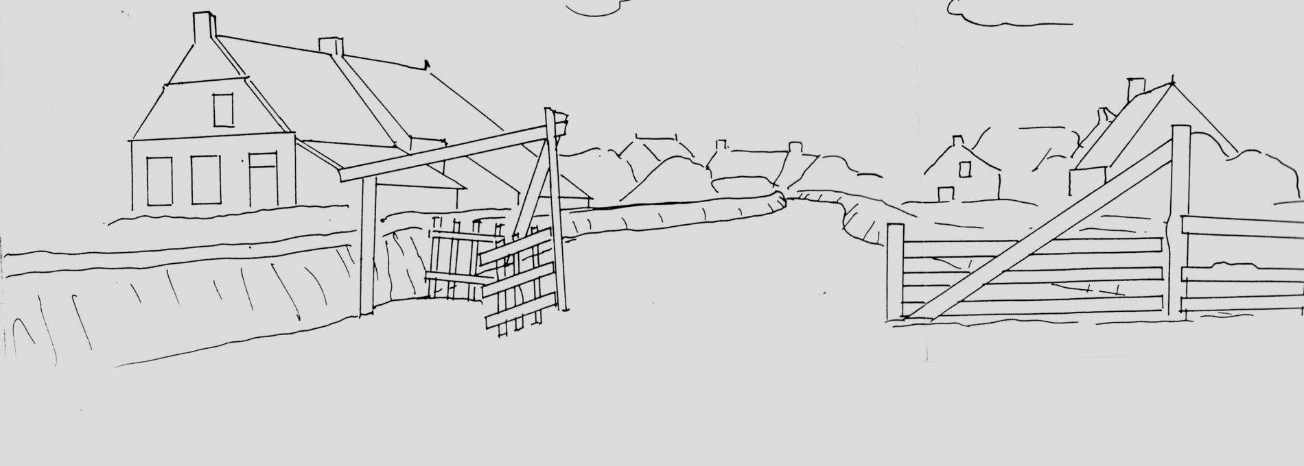
Livestock fence
Before Ameland was protected from the Wadden sea bij the seadike, which was built in 1910, the lands outside the villages were divided into outer pastures (de Grie) and inner pastures (the Miede).
The inner pasture was used as hayfield and was private property as from 1770. The outer pasture was used as grazing fields for livestock and was communal property. The livestock fence served as a means to prevent livestock from the outer pastures to enter the village.
The Marke of Ballum
To prevent livestock from outer pastures from entering the inner pastures, these hayfields were protected by little dikes made from turf, the outer side of which were positioned upright.
At the side of the Wadden sea, these little dikes were meant to serve as sea defense, and were set up higher and enforced with seaweed. Each farmhouse in the village was entitled to a section of land on different locations in the Miede. This entitlement was redistributed every 6 to 12 years until 1770. Post 1770 the lands of the Miede were no longer reallocated and each farmhouse kept the same stretch of land in ownership. Everyone with entitlement in the distribution of the Miede also enjoyed entitlement in the collective outer pastures.
The outer pastures flooded regularly during storms as a result of high tide, and as a result a layer of fertile sediment was formed.
In these old outer pastures we therefore find sea clay that is hardly present in the inner pastures.We may conclude from this that these sea-retaining dikes were built around the 14th centure. In this timeframe the Wadden sea expanded and posed a threat to the pastures. These sea-retaining dikes are found at the southside of the Miede, where the threat of flooding was greatest. We find the little livestock dikes near the villages and even within the villages. They only served as a means to keep livestock out of the inner pastures but also out of the stretches of farmland, scattered everywhere, including within the village.
Free passage ("de vrijgang")
In winter, the outer pastures of the Grie sections could not be used as communal fields because of the risk of flooding. As soon as the last of the hay was harvested in the inner pastures, usually mid September, free passage ("vrijgang") was allowed. Livestock could then enter the safety of the inner pastures. Free passage lasted through December, when livestock would be stabled. This is also the reason why farmland had to be protected from free-roaming livestock with little dikes. On these fields crops such as oats, rye, peas, beans, and other vegetables were grown.
The overseers
The responsibility for the safety and maintenance of the sea-retaining dikes was that of the farmers, or in any case with those who had entitlements/properties in the Miede.
These dikes were made of turf and seaweed and the turf could be taken from the communal grounds, the outer pastures, leaving large stretches of stripped land behind. Dike controls would take place annually in September, after harvest and before the winterstorm season, and were executed by the overseers.
Overseers, called judges until the 19th centure, were periodically selected from within the farmer population. In Hollum, 6 overseers were appointed and 3 in Ballum. The maintenance of the dikes was an obligation of the Marke partners, the conditions that the farmers and overseers had to meet were described in detail in the book of dikes (dijkenboekje).
The 1838 book of dikes
The book of dikes contains the allocation of the stretches of land in the Miede. In addition, 42 requirements are listed which the farmers must meet, as well as 21 articles with instructions for the overseers.
This book stipulates for example that the inner dike measures 1 "el" and 60 "duim" above the foot of the dike. The sea-retaining dikes needed to have a height of 2 "el" and 50 "duim" above sea level. Please note that although the metric system was already introduced, a meter was called an "el" and a centimeter was called a "duim". The respective heights were therefore 1.6 meter and 2.5 meter.
Land consolidation
The first voluntary and best-known land consolidation in the Netherlands was that of the Ballumer Miede. The small stretches of hayfields from the original allocation had become so small as a result of inheritance and resale that it had become unmanageable. In 1916, the Miede, a total size of 190,363 acres, was split into 3,659 plots. The average size of a parcel of hayland was 520 m2. In 1770, the plots of land were permanently allocated to each Marke partner, which resulted in each partner having multiple parcels of land spread over the entire Miede. In the Ballumer Miede there were no roads or paths, and to reach one's own property required passing across someone else's property. This complex situation ended with the redistribution of properties, land consolidation in other words. Along with land consolidation, several paths and roads were constructed, as well as sufficient drainage. 3.659 land parcels were thus reduced to 219 parcels with an average size of 7,636 m2.

Veekeringshek Ballum - Tourist Information "VVV" Ameland

Twee bladzijden uit het dijkenboekje van Hollum/Ballum 1838 - Tourist Information "VVV" Ameland

Kerkveedijkjes - Tourist Information "VVV" Ameland

De resten van een met zoden opgezet zeewerend dijkje - Tourist Information "VVV" Ameland

Schapen met herder op de buitenweide - Tourist Information "VVV" Ameland

Ruilverkaveling oude perceelsindeling - Tourist Information "VVV" Ameland

Ruilverkaveling nieuwe perceelsindeling - Tourist Information "VVV" Ameland